
Satellite Methane Monitoring for Wastewater Treatment
Long-Term Emission Analysis from Sentinel-2 Remote-Sensing Imagery
Remote Sensing, 2024

Illustrative placeholder generated for this site; it is not a satellite observation or result from the paper.
I. Overview
Short measurement campaigns provide only snapshots of fugitive methane emissions from wastewater treatment. This study investigates whether frequently available satellite imagery can reveal longer-term spatial and temporal patterns instead.
The analysis covers Sentinel-2 observations of a Calgary wastewater treatment plant from 2019 through 2023, providing a multi-year view of daily, monthly, seasonal, and annual variation.
II. Key Contributions
- Evaluates high-spatial-resolution Sentinel-2 imagery for long-term wastewater methane monitoring.
- Develops image-processing techniques for extracting spatial and temporal concentration patterns.
- Identifies candidate emission hotspots and compares them with ground-based measurements.
III. Methodology
The study processes multi-year Sentinel-2 imagery to retrieve methane column-concentration distributions over the plant. Digital image-processing steps aggregate and compare those distributions across daily, monthly, seasonal, and annual timescales and locate recurring spatial hotspots.
IV. Main Findings
The recovered patterns show substantial spatial and temporal variation and identify hotspots consistent with ground observations. The paper presents satellite imagery as a cost-effective complement to continuous monitoring while noting limitations from clouds, atmospheric scattering, and sensor resolution.
Reference
Citation
BibTeX citation
@Article{Mehrdad_2024_SatelliteMethane,
  author         = {Mehrdad, Seyed Mostafa and Zhang, Bo and Guo, Wenqi and Du, Shan and Du, Ke},
  title          = {First Investigation of Long-Term Methane Emissions from Wastewater Treatment Using Satellite Remote Sensing},
  journal        = {Remote Sensing},
  year           = {2024},
  volume         = {16},
  number         = {23},
  article-number = {4422},
  doi            = {10.3390/rs16234422}
}
Continue exploring
Related Projects
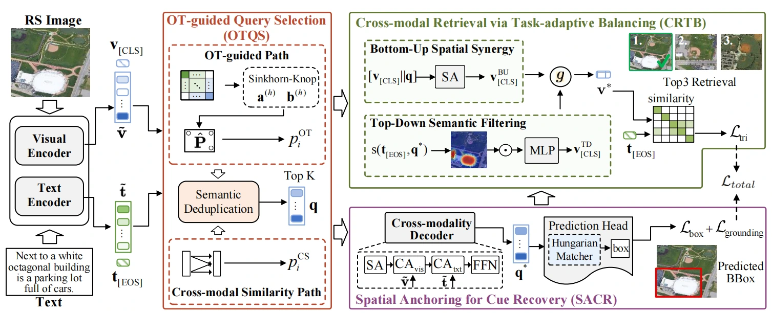
Explicit Spatial Localization and Task-Adaptive Balancing for Remote Sensing Image-Text Retrieval
A remote-sensing image–text retrieval framework that combines explicit object localization with adaptive coordination between spatial and semantic learning objectives.
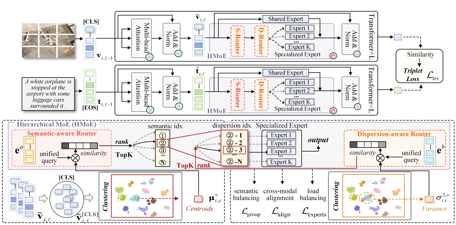
H-MoC: Hierarchical Mixture-of-Experts for Semantic- and Dispersion-Consistency in Remote Sensing Image-Text Retrieval
A hierarchical mixture-of-experts retrieval framework that promotes both semantic consistency and balanced feature dispersion across remote-sensing image and text representations.